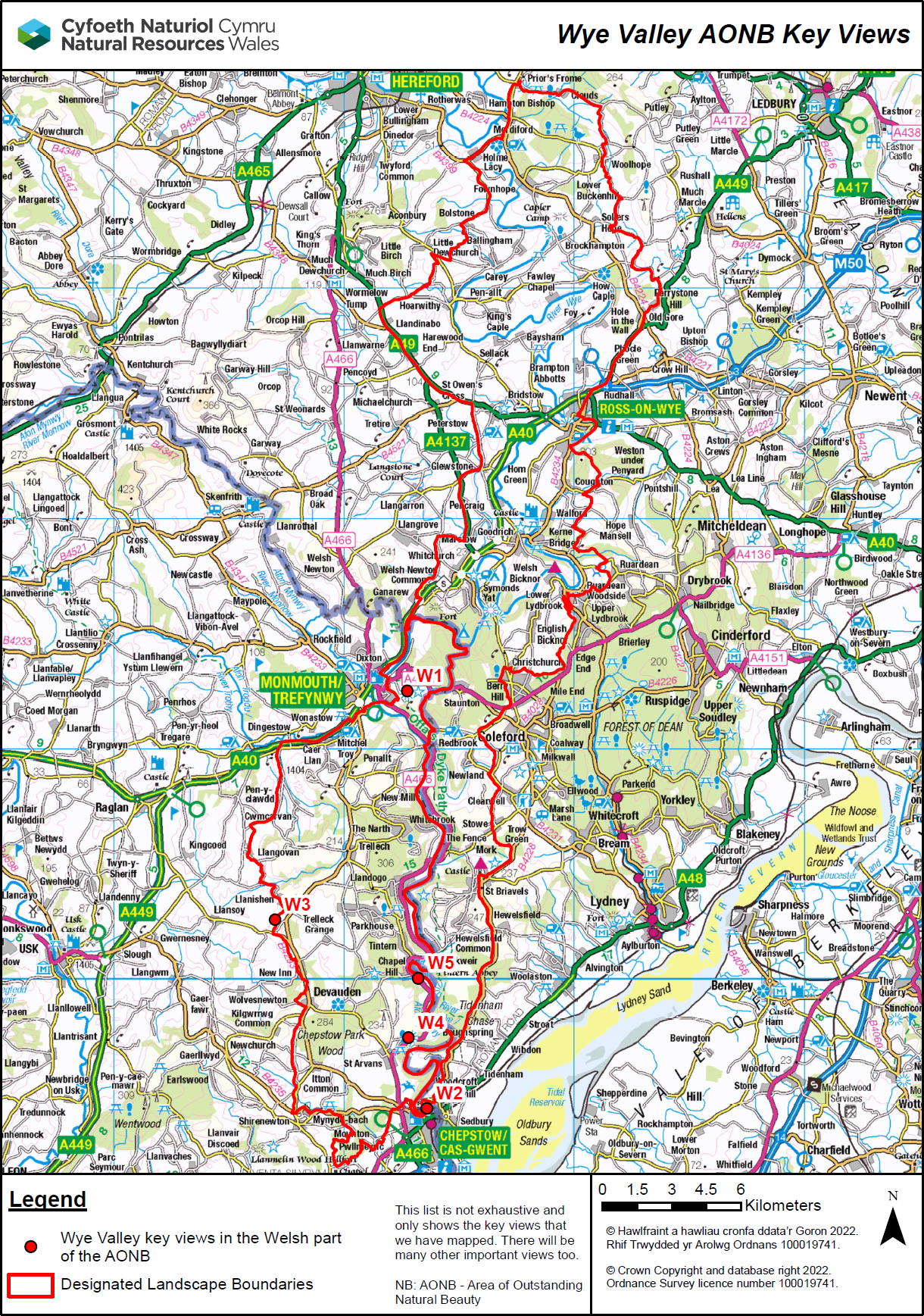
Visible settings and Key Views - Wye Valley AONB
Notes:
- View points only represent a selection based on local knowledge. It is not an exhaustive list. Any mapping like this only forms a strategic ready reckoner. It is no substitute for detailed, qualitative, field observations.
- For visible areas, maps show a 360-degree Zone of Theoretical Visibility (ZTV). Some key views may only be notable in certain directions.
- For areas not visible, maps show the Height of an Object before it becomes Visible (HOBV).
- We calculated the data using a 30 metre Digital Terrain Model (DTM). Observer points were 1.5m above ground level. The calculations take into account the Earth's curvature.
- Key views are often experienced when walking around the viewing area. We used a square grid of 9 observer points set 30 metres apart. This reduces the chance that a single observer point was not representative. The Ordnance Survey grid references are for the centre point.
- We only calculated data as far as 35km from an observer point. More distant views may also be possible.
- User guidance explains and illustrates what the data shows
- A detailed technical report shows how the data was calculated
- You can also view the ZTV for each LANDMAP Visual and Sensory area